How Forest Fires Affect Nepal’s Air Quality
Understand when and how forest-fire smoke reaches communities in Nepal, what PM2.5 means for health, and how to reduce exposure.
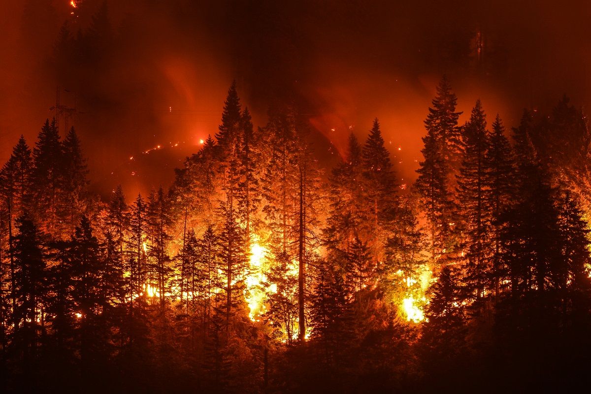
In this article
Understand first
Three things this evidence means for you
- 1Forest-fire smoke contains fine particles and gases, and PM2.5 is often the main pollutant used for public health decisions during smoke episodes.
- 2Wind can carry smoke far from a fire, so a location can have unhealthy air without flames or a strong smoke smell nearby.
- 3Current observations, satellite fire information, forecasts, cleaner indoor air, and reduced outdoor exertion work best as a layered protection plan.
When forest-fire smoke affects Nepal
Fire activity and smoke risk often increase during dry periods, including the pre-monsoon season. The timing and severity change each year with vegetation dryness, ignition, land management, rainfall, wind, and fires beyond Nepal's borders.
A smoke episode can be local, regional, or both. Public guidance should avoid assigning one source from appearance alone because haze can also contain urban emissions, dust, and secondary particles.
What is in forest-fire smoke?
Smoke is a complex mixture of fine and coarse particles, carbon monoxide, volatile organic compounds, nitrogen oxides, and other chemicals. Composition changes with fuel, fire temperature, distance, and atmospheric reactions.
PM2.5 is a central concern because it can penetrate deep into the lungs and often rises sharply in smoke plumes. A normal-looking gas reading does not make high particle pollution safe, and a particle respirator does not remove every gaseous pollutant.
How smoke travels far from a fire
Rising hot air can lift smoke above the surface. Winds then carry it across districts and borders, while atmospheric mixing later brings some pollution back toward breathing level. Terrain can channel flows through valleys, and nighttime stability can concentrate near-surface smoke.
Satellite detection and ground confirmation
Satellites can detect active-fire heat signatures, burned areas, smoke plumes, and aerosol patterns across places with few monitors. They cannot directly measure a person's breathing-zone PM2.5 at every moment. Clouds, overpass timing, surface brightness, and smoke height introduce gaps and uncertainty.
Ground monitors and quality-controlled sensors confirm surface conditions. Weather models help estimate plume movement. Using all three gives a stronger picture than relying on one layer alone.
Symptoms and people at higher risk
Seek urgent care for severe shortness of breath, chest pain, confusion, fainting, or blue lips. Follow individual asthma, heart, and emergency plans from qualified professionals.
- Eye, nose, and throat irritation
- Cough, wheeze, headache, or unusual tiredness
- Worsening asthma or breathing difficulty
- Cardiovascular stress in people with heart disease
- Higher concern for children, older adults, pregnant people, and outdoor workers
Protection for homes, schools and outdoor workers
Create a cleaner room with closed windows and doors during smoke, while preventing unsafe heat. Run a correctly sized particle cleaner continuously if available, or use compatible high-efficiency HVAC filtration. Ventilate once outdoor air improves.
Schools and employers should reschedule strenuous tasks, add rest in cleaner air, provide appropriate respiratory protection where required, and communicate the next decision time. Emergency fire instructions always take priority over air-quality convenience.
How VayuDrishti can combine the evidence
VayuDrishti's goal is to connect ground readings, weather, forecasts, and satellite context in one action view. The platform should clearly separate observations from forecasts, show timestamps, and communicate confidence so users know what is measured, what is estimated, and what to do next.
Local context
A pre-monsoon smoke episode
During Nepal's dry pre-monsoon season, fires can occur across hills, forests, and neighboring regions. A wind shift may carry a smoke plume into a city after the local sky previously looked clear. Ground PM2.5 observations confirm what people are breathing, while satellite detections and weather help explain where the smoke may have come from and where it may go next.
Now act
Practical recommendations
- Check current PM2.5, AQI, wind, and official fire or emergency information.
- Reduce prolonged or strenuous outdoor activity while smoke remains elevated.
- Close doors and windows when outdoor smoke is worse, provided indoor heat remains safe.
- Use a correctly sized portable particle cleaner or suitable high-efficiency filtration in a cleaner room.
- Avoid smoking, incense, candles, frying, and other indoor activities that add particles.
- Wear a genuine, well-fitted particulate respirator when you must be outdoors.
- Follow evacuation and fire-safety instructions immediately when an active fire threatens your area.
Sources and methodology
The article combines NASA satellite-use information with EPA, CDC, and NIOSH smoke-protection guidance. Satellite detections and aerosol products have cloud, timing, resolution, and vertical-distribution limits. Ground observations remain essential for estimating near-surface exposure.
- 1.Satellite data for air-quality management: NASA
- 2.Wildfire smoke and indoor air quality: US Environmental Protection Agency
- 3.Community respirators and masks: CDC and NIOSH
Continue learning
Related action guides
 Climate Action
Does Rain Reduce Air Pollution? Nepal’s Monsoon Effect Explained
Learn how rain removes particles, why light rain may not fix pollution, and how humidity can affect air-quality readings in Nepal.
 Climate Action
Community-Led Air Quality Initiatives
Explore practical community projects that help residents understand and improve local air quality.
 Air Quality 101
Why Air Quality Changes from Street to Street in Kathmandu
A single citywide AQI can hide important differences between busy roads, residential lanes and open spaces. Discover what creates Kathmandu’s hyperlocal pollution hotspots.