The Future of Air Quality Monitoring
Explore the technologies changing how communities track and respond to air pollution.

In this article
Understand first
Three things this evidence means for you
- 1Low-cost sensors can improve local coverage but require careful siting and quality assurance.
- 2Satellite observations add regional context and complement rather than replace ground monitoring.
- 3Forecasting is most useful when uncertainty and data provenance are communicated clearly.
Air quality monitoring is becoming more affordable, connected, and actionable. New tools are helping fill gaps between traditional reference stations while making local conditions visible in real time.
Technologies to watch
- Networked low-cost IoT sensors
- Satellite-based pollution observation
- AI-powered forecasting and anomaly detection
- Mobile exposure alerts
- Personal and wearable monitors
The role of VayuDrishti
VayuDrishti combines accessible sensors, satellite context, AI forecasting, live dashboards, and health-focused communication so environmental data can support better everyday decisions.
Local context
Combining signals for a city in the Global South
A practical city view can combine a ground reading, modeled regional conditions, satellite context, and weather forecasts. Agreement between signals builds confidence; disagreement is a reason to inspect sensor health, model resolution, cloud cover, or a highly local emission source.
Now act
Practical recommendations
- Treat low-cost sensors as part of a measurement system that includes maintenance and quality checks.
- Show the timestamp, source, units, and spatial limitations beside every reading.
- Use forecasts for planning while continuing to check current conditions as the time approaches.
Sources and methodology
This overview distinguishes ground sensors, satellite observations, and atmospheric models by their different spatial and temporal strengths. VayuDrishti combines signals for decision support rather than treating them as interchangeable measurements.
- 1.Air Sensor Data Tools: U.S. Environmental Protection Agency
- 2.Satellite Monitoring for Air Quality and Health: NASA Technical Reports Server
Continue learning
Related action guides
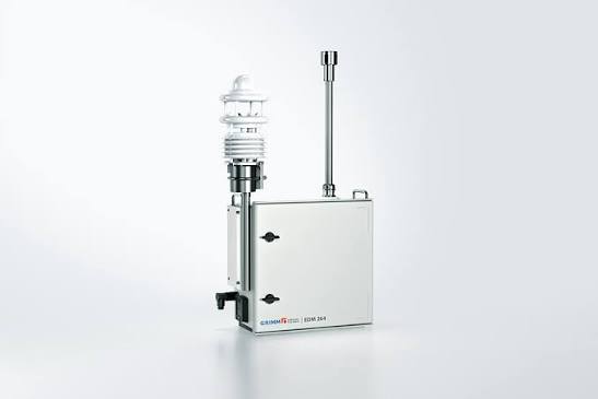 Technology
How Do Air-Quality Sensors Work, and How Accurate Are They?
Learn how low-cost and reference monitors measure pollution, why nearby sensors differ, and how calibration and quality control improve data.
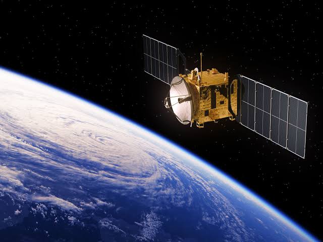 Technology
How Satellites, Ground Sensors and AI Can Map Air Pollution
See how satellite observations, ground monitors, weather and AI can create high-resolution air-quality maps while keeping uncertainty visible.
 Air Quality 101
Why Air Quality Changes from Street to Street in Kathmandu
A single citywide AQI can hide important differences between busy roads, residential lanes and open spaces. Discover what creates Kathmandu’s hyperlocal pollution hotspots.