How Satellites, Ground Sensors and AI Can Map Air Pollution
See how satellite observations, ground monitors, weather and AI can create high-resolution air-quality maps while keeping uncertainty visible.
In this article
Understand first
Three things this evidence means for you
- 1Satellites provide broad, repeated observations that help fill geographic gaps, but they do not directly measure breathing-level PM2.5 at every location and hour.
- 2Ground monitors, weather, emissions, terrain and models are needed to translate column aerosol information into surface conditions.
- 3AI can fuse these inputs into detailed maps and forecasts, but independent validation, uncertainty, bias checks and clear timestamps are essential for trust.
Why ground monitoring alone leaves gaps
Reference stations provide essential, quality-assured surface measurements but are expensive to build and operate. A station describes its own location and cannot directly resolve every valley, rural district, roadside, or fast-moving smoke plume. Maintenance and communication outages create additional gaps.
The goal is not to replace ground monitors. It is to use their accuracy as an anchor while other evidence expands coverage between stations.
What satellites observe
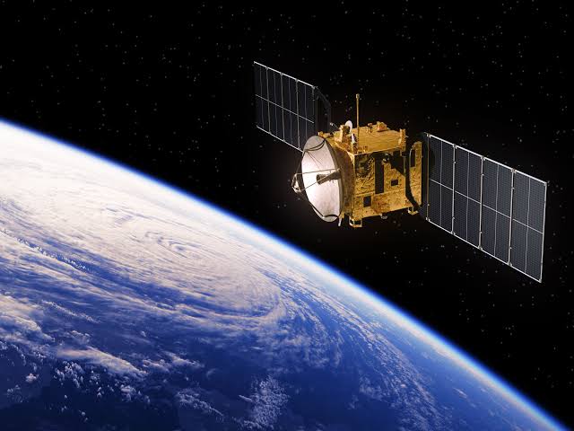
Earth-observing satellites measure reflected or emitted radiation across wavelengths. Retrieval algorithms turn those signals into products related to fires, smoke, trace gases, clouds, and aerosols. Coverage can extend across countries and reveal regional transport that a city network cannot see.
Aerosol optical depth is not surface PM2.5
Aerosol optical depth, or AOD, describes how aerosols affect light through a vertical column of atmosphere. PM2.5 concentration describes fine-particle mass in near-surface air. Their relationship depends on aerosol height, humidity, composition, boundary-layer depth, and weather.
Converting AOD into surface PM2.5 therefore requires additional information and validation. A high aerosol layer above the ground may not create the same immediate exposure as the same amount mixed near the surface.
Why weather and terrain matter
- Wind transports and disperses pollution
- Boundary-layer height controls the volume available for mixing
- Rain removes many particles
- Humidity changes aerosol properties and some sensor responses
- Temperature and sunlight affect chemistry and mixing
- Terrain channels airflow and can trap pollution in basins
Ground stations train and test the estimate
A data-fusion model learns relationships among satellite products, meteorology, terrain, emissions, time, and measured surface pollution. Some station data can train the model, while separate held-out stations and time periods test whether it works on evidence it did not see during training.
Testing only on the training data exaggerates performance. Validation should report error, bias, correlation, missingness, and performance during high-pollution episodes, across seasons, and outside dense monitoring areas.
How AI creates hourly high-resolution maps
Machine-learning models can learn nonlinear relationships and combine inputs at a common grid and time. A nowcast estimates present conditions using recent evidence. A forecast predicts future conditions using weather and expected emissions. Spatial detail can be useful, but a finer pixel does not automatically mean the estimate is more accurate.
Uncertainty, missing data and bias
Clouds can block satellite retrievals, monitors cluster in populated places, emissions inventories can be incomplete, and sudden fires or dust events may fall outside the training experience. Models can inherit these gaps and perform differently across communities.
A trustworthy map shows confidence, flags missing or stale inputs, withholds impossible outliers, and distinguishes measured from estimated values. Model versions and meaningful methodology changes should be documented.
What these forecasts enable
- Finding a lower-exposure hour for school, work, or exercise
- Supporting public alerts in places without dense monitoring
- Tracking regional smoke and pollution transport
- Evaluating neighborhoods that need new monitors
- Helping researchers and decision-makers test interventions
The VayuDrishti vision
VayuDrishti's purpose is to turn atmospheric evidence into a decision a person can use. The product should present the current condition, next cleaner window, recommended action, data provenance, and confidence together. Scientific complexity remains in the method, while the interface makes its meaning clear without pretending uncertainty has disappeared.
Local context
Mapping pollution beyond Kathmandu's monitors
A city with one ground monitor cannot reveal every neighborhood pattern, and many Nepal locations have no continuous reference station. Satellite aerosol information can add regional coverage, weather describes transport and mixing, terrain explains local flow, and ground observations anchor estimates near the surface. A trained model can combine the layers into an hourly map, with lower confidence clearly shown where evidence is sparse.
Now act
Practical recommendations
- Check whether a map displays observation, nowcast, forecast, or a blend.
- Read the valid time, update time, spatial resolution, pollutant, and units.
- Use ground observations to confirm severe surface conditions when available.
- Expect gaps beneath clouds or where satellite retrieval conditions are poor.
- Look for published validation by location, season, concentration range, and station type.
- Use uncertainty to choose cautious action rather than treating every pixel as exact.
Sources and methodology
This article synthesizes NASA satellite-data documentation and EPA guidance on air sensors and model evaluation. It describes a defensible data-fusion workflow, not proprietary VayuDrishti model performance. Any public performance claim should be linked to an independently reproducible validation report.
- 1.Global PM2.5 grids from satellite AOD: NASA
- 2.Satellite data for air-quality management: NASA
- 3.Quality assurance for air sensors: US Environmental Protection Agency
Continue learning
Related action guides
 Technology
How Do Air-Quality Sensors Work, and How Accurate Are They?
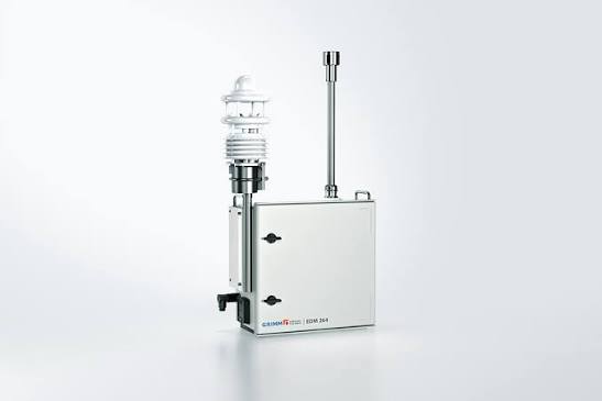
Learn how low-cost and reference monitors measure pollution, why nearby sensors differ, and how calibration and quality control improve data.
 Technology
The Future of Air Quality Monitoring
Explore the technologies changing how communities track and respond to air pollution.
 Air Quality 101
Why Air Quality Changes from Street to Street in Kathmandu
A single citywide AQI can hide important differences between busy roads, residential lanes and open spaces. Discover what creates Kathmandu’s hyperlocal pollution hotspots.